

In fragile and conflict-affected countries, infrastructure has the power to change everything from food security and job creation to national stability. But building large-scale infrastructure in these settings is never straightforward. Projects are often launched with ambitious goals but little data, uncertain timelines, and layers of political pressure. This is where technical feasibility studies come in.
A good feasibility study doesn’t just ask “can we build this?”, it asks “should we, and how can we do it right?” One example is the Qosh Tepa Canal in northern Afghanistan, a mega irrigation project that aims to transform over 500,000 hectares of dry land into farmland. Even before the construction started, detailed technical feasibility studies conducted by Adroit Associates helped shape the vision, reveal the risks, and guide decision-makers through one of the most complex undertakings in the region.
Why Feasibility Studies Matter in Fragile Contexts
In stable countries, infrastructure projects often begin with years of data, clear policies, and predictable funding. In fragile states, those foundations are missing. A feasibility study fills that gap. It gives governments, donors, and implementers the facts they need to plan smart, reduce risk, and build sustainably.
When Adroit Associates was tasked with assessing the viability of the Qosh Tepa Canal, there was very little reliable data available. The project team conducted hydrological studies, soil and water testing, and community consultations across four provinces. The findings didn’t just inform design, they also helped the Afghan government weigh long-term costs, environmental concerns, and regional implications.
What Makes a Feasibility Study Robust?
A robust feasibility study takes a multi-dimensional view, looking at technical, environmental, economic, social, and even political factors to ensure that a project is not only viable, but sustainable and justifiable in the long term.
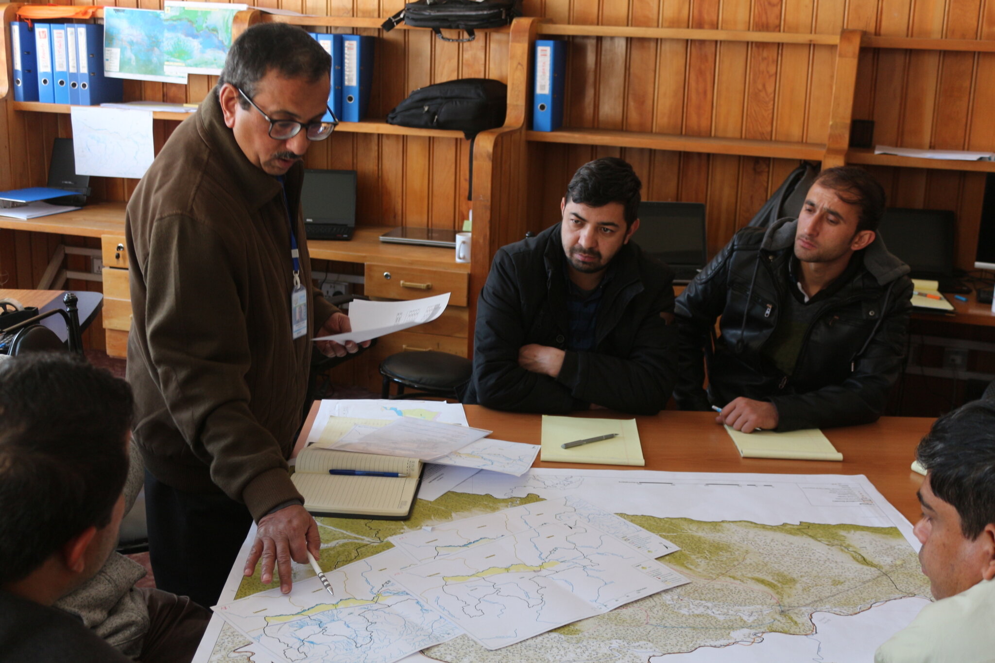
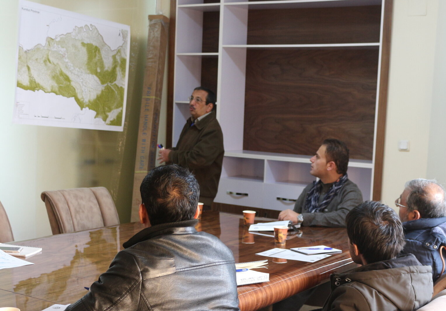
At Qosh Tepa, Adroit Associates brought together a multi-disciplinary team of over 120 specialists, including hydrologists, geotechnical engineers, soil scientists, environmental experts, GIS analysts, and social researchers. This integrated approach allowed the team to examine the full picture of water availability, land suitability, climate risks, ecological impacts, and community dynamics.

1. Multi-disciplinary Inputs
These diverse perspectives ensured the study could address both opportunities and risks with technical confidence.
- Hydrological modeling assessed the seasonal and annual flow of the Amu Darya to determine irrigation potential
- Soil analysis helped identify areas suitable for agriculture and those that required reclamation due to high salinity or poor permeability
- Engineering teams designed alternative irrigation schemes, comparing gravity-fed and lift irrigation systems across two locations
- Environmental specialists evaluated the ecological footprint of diverting billions of cubic meters of water from a transboundary river
2. Scenario Modeling
In fragile states, the future is uncertain, so feasibility studies must be future-proof.
Adroit used advanced simulation tools like HEC-HMS and WEAP to model:
- The impact of climate change on water availability
- Seasonal deficits during peak irrigation months (May – June)
- Irrigation potential under varying flow and cropping scenarios
By layering different variables like temperature projections, crop intensity, and environmental flow requirements, these models provided decision-makers with a range of actionable scenarios, rather than a single static recommendation.
3. Listening to Community Voices
Sustainability also depends on social acceptance. A technically sound project can still fail if local communities are excluded or harmed. Adroit conducted over 15 public consultations across Balkh, Kunduz, Jawzjan, and Faryab provinces. These dialogues revealed:
- Concerns around potential resettlement due to canal alignment
- Community hopes for job creation, improved agricultural productivity, and water security
- Local knowledge of groundwater behavior and seasonal water stress
4. Data Integration for Decision-Making
Another standout aspect of the Qosh Tepa study was how disparate data sources were unified into a single, evidence-based blueprint.
- Historic topographic maps were cross-referenced with satellite DEM models
- Field data from over 100 wells and 130 soil profiles fed directly into water planning and irrigation design
- Environmental and social assessments were integrated into cost-benefit analyses, revealing that gravity irrigation at Qosh Tepa could save over USD 600 million over 10 years compared to lift irrigation at Kaldar
This layered approach gave policymakers a realistic, multi-scenario view, one that accounted for cost, sustainability, stakeholder needs, and future uncertainties.
Navigating Politics and Practicalities
One of the most challenging aspects of infrastructure in fragile settings is politics. Sometimes, the technically optimal path isn’t the one that gets chosen.
In the Qosh Tepa study, Adroit recommended a gravity-fed irrigation system from Qosh Tepa due to its higher elevation and long-term cost savings. But the Afghan government ultimately selected Kaldar, another location with lower initial construction costs. This decision reflected immediate financial pressures, even though it meant higher long-term operational expenses.
This kind of divergence isn’t unusual. It underscores the need for feasibility studies to offer scenarios rather than fixed answers to help decision-makers weigh trade-offs based on their realities.
Accounting for Regional and Environmental Realities
Infrastructure doesn’t exist in isolation, especially not when it draws water from a shared river basin like the Amu Darya, one of Central Asia’s most vital lifelines. The Qosh Tepa Canal is expected to divert up to 13 billion cubic meters of water annually, a move that has raised concerns across the region, particularly among downstream countries like Uzbekistan and Turkmenistan, both of which rely heavily on the river for agriculture and hydropower.
But the implications don’t stop there. Tajikistan and Kyrgyzstan, both upstream contributors to the Amu Darya, may also be affected indirectly. Changes in water flow could alter seasonal availability, reduce overall downstream volume, and increase regional competition for water, especially during peak agricultural months. Additionally, ecological impacts could ripple through the river’s delta and wetland ecosystems, affecting biodiversity and livelihoods dependent on fisheries and grazing lands.

To address these concerns, the Qosh Tepa feasibility study incorporated environmental flow modeling and a transboundary impact assessment. It estimated how much water must remain in the river to preserve downstream ecological balance while still meeting Afghanistan’s irrigation needs. These insights not only shaped national decisions but also laid the groundwork for more transparent dialogue with neighboring countries, an essential step toward regional water cooperation in a climate-stressed future.
Conclusion
In fragile states, the pathway from an infrastructure dream to a deliverable project is full of challenges. But a well-done technical feasibility study can light the way forward. It transforms ambition into action and ensures that what gets built serves the people, the land, and future generations.
The Qosh Tepa Canal shows how detailed studies grounded in science and shaped by real-world conditions can help unlock the full potential of infrastructure, even in the most complex settings. Adroit’s technical feasibility studies for Qosh Tepa went far beyond basic technical assessment and set a benchmark for what due diligence should look like in fragile states: comprehensive, context-aware, people-centered, and backed by hard data. That’s what makes a feasibility study not just a planning document — but a strategic foundation for sustainable development.